The cave
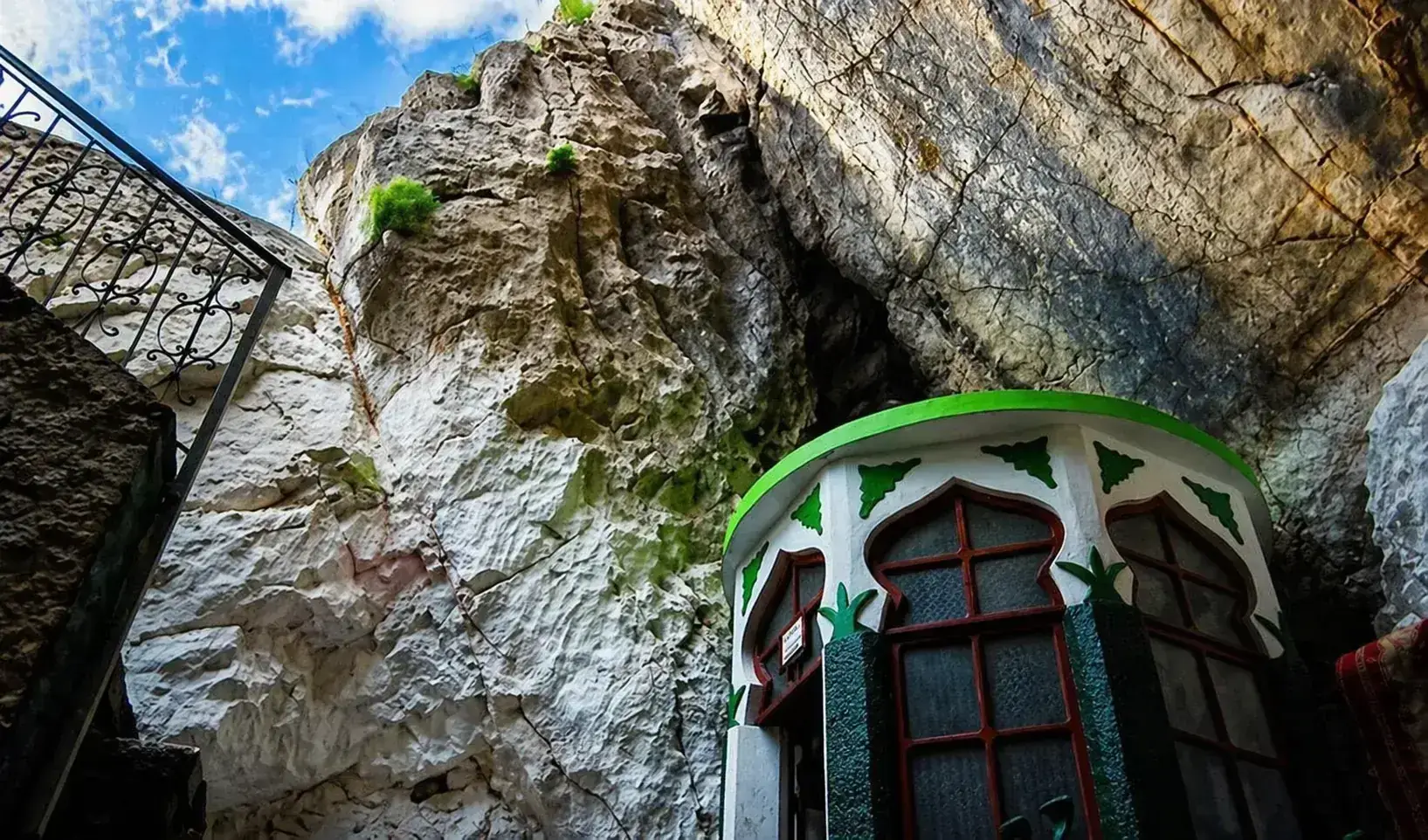
Steps lead down into a cave about 20 metres deep, with the shrine inside. Dress modestly and take your shoes off where you are asked to.
 VisitKruja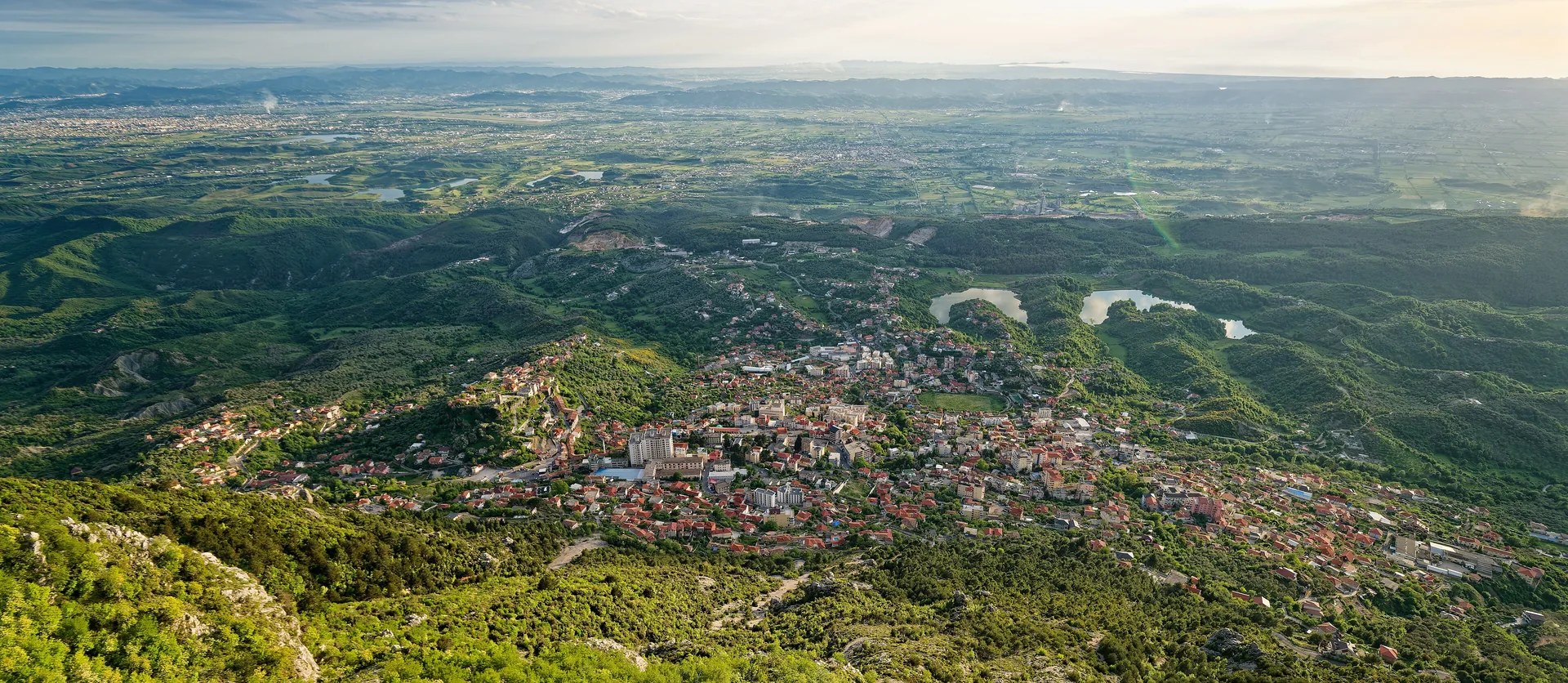
A Bektashi cave shrine at 1,176 metres on Mount Kruja, 7 km above the town by road, looking out over the plain to the Adriatic.
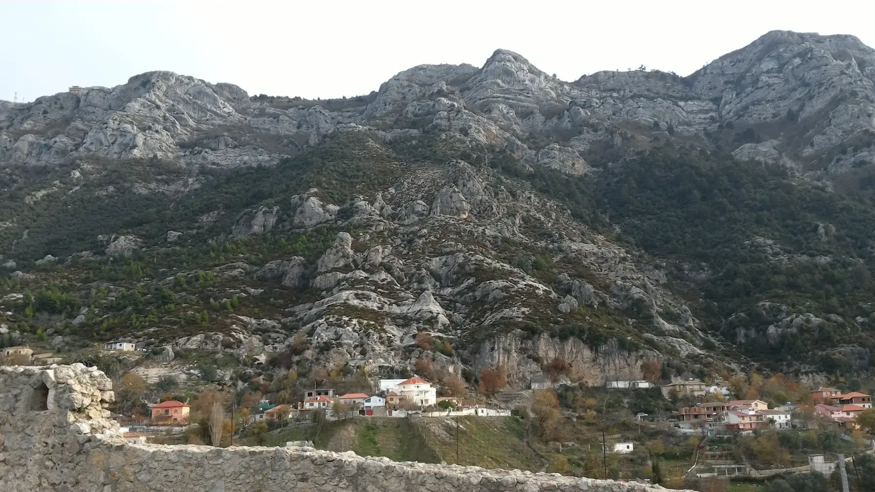
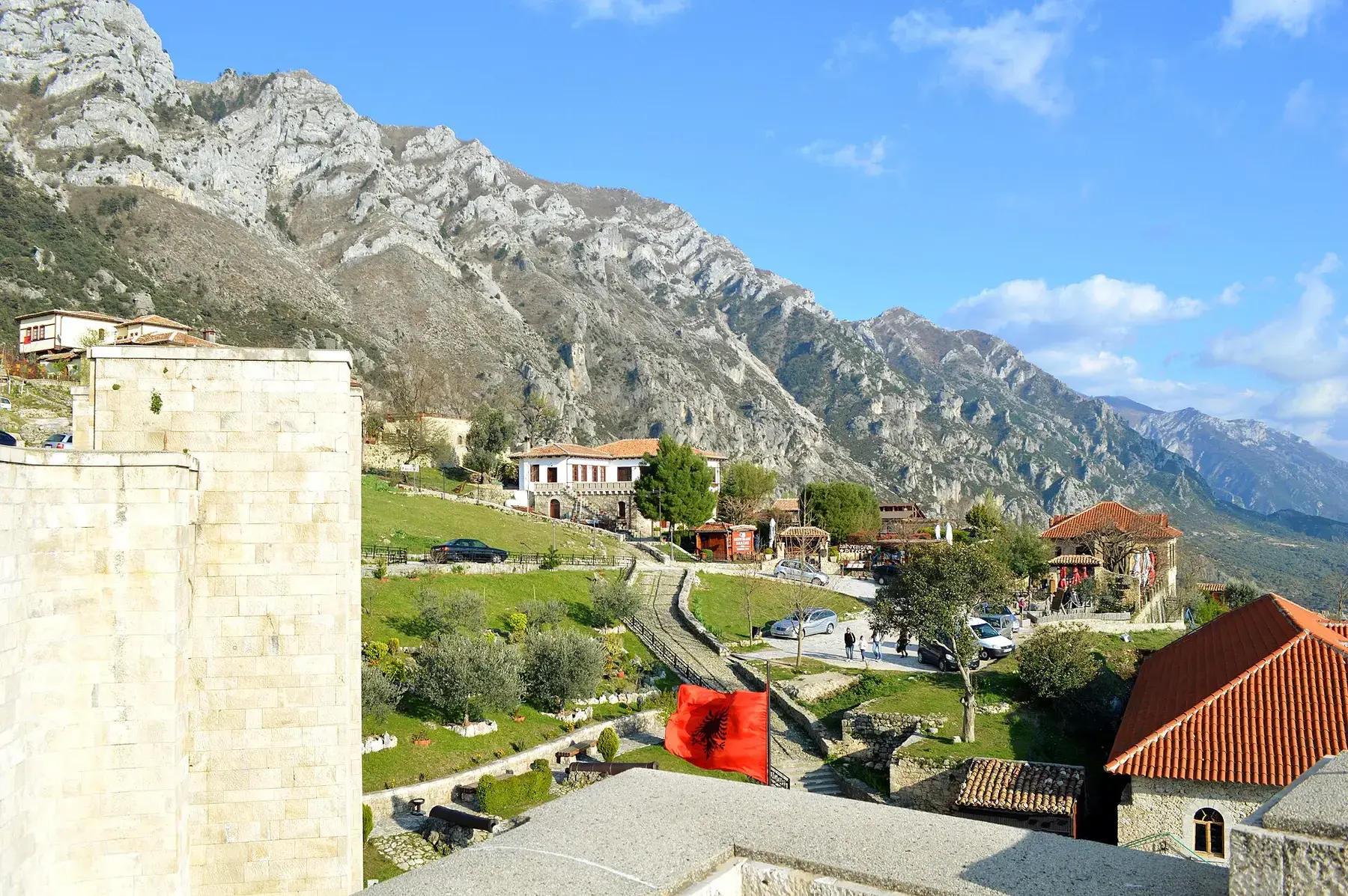
The Teqe of Sari Salltik sits at 1,176 metres on Mount Kruja, the limestone wall that rises straight behind the town. It is a cave shrine of the Bektashi order, at the top of the mountain road, and pilgrims have been coming up to it for centuries.
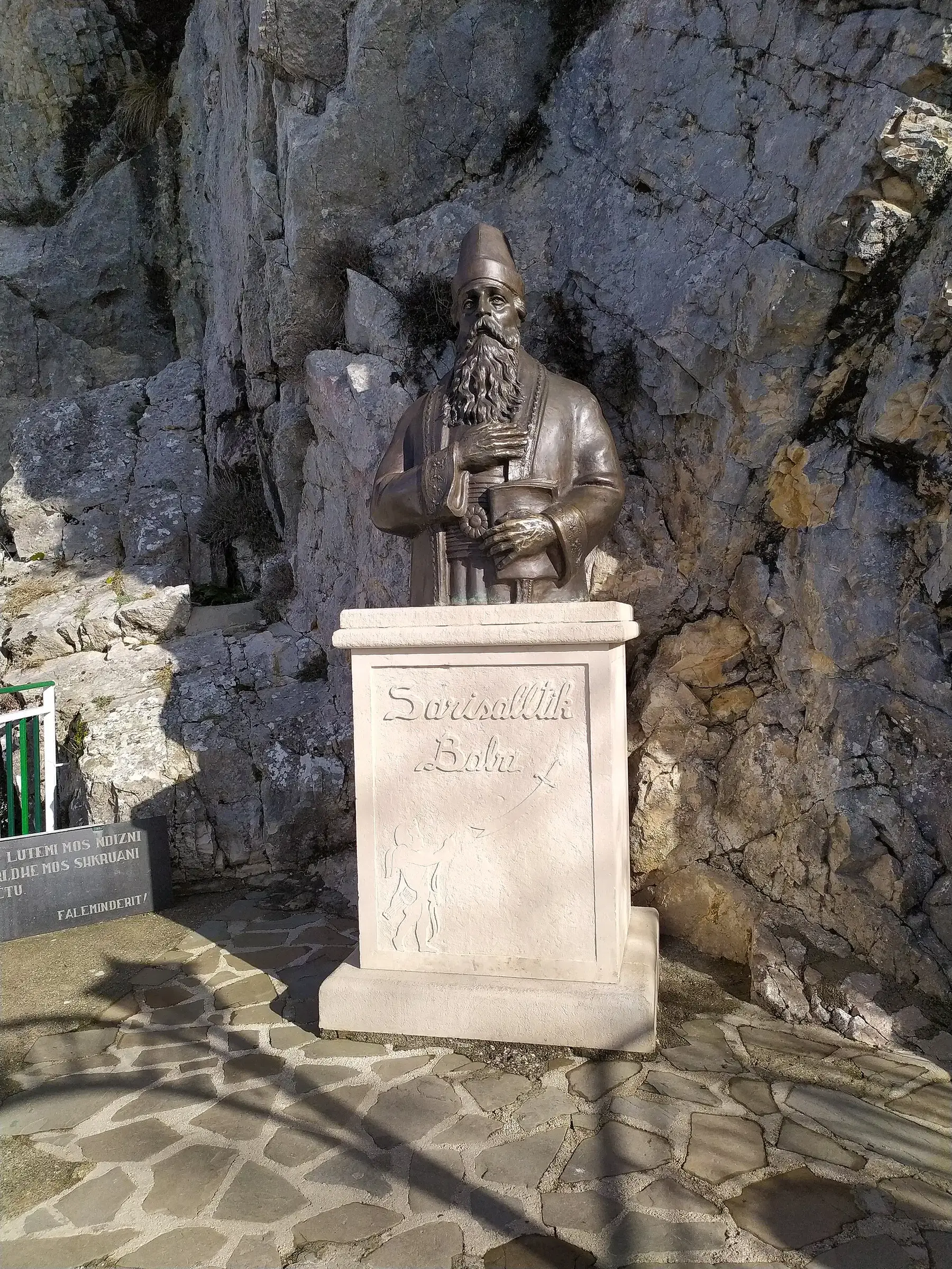
Tradition says Sari Salltik, a dervish the Bektashi honour as a saint, came to Kruja and lived in this cave. A bronze bust of him stands on a white plinth against the rock by the entrance. Steps lead down into the cave, about 20 metres deep, where the shrine is hung with ribbons and visitors light candles.
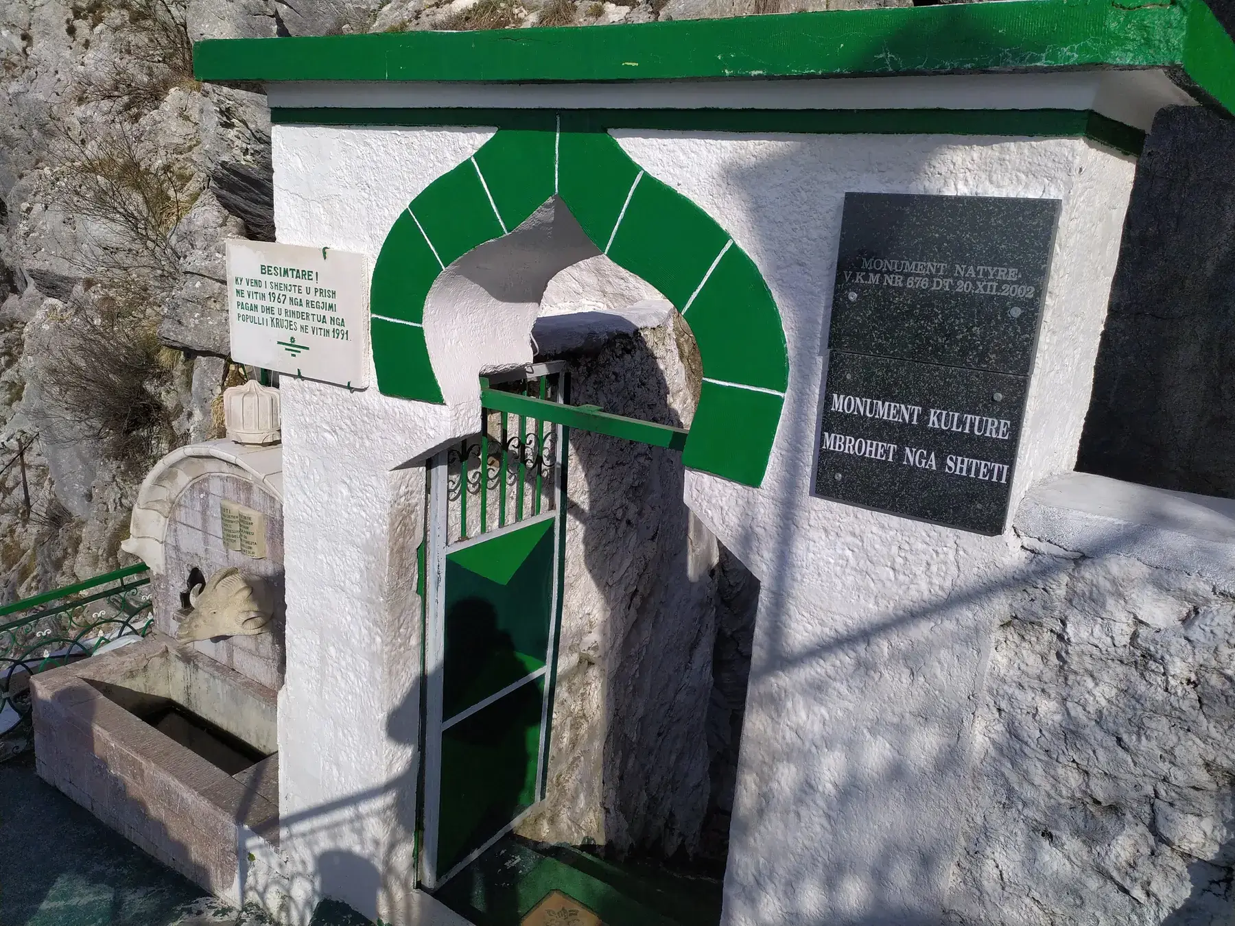
A spring runs inside the rock, and most people fill a bottle before they leave. Outside, the ledges look west over Kruja and the plain, and on a clear day the view reaches the Adriatic coast.
The shrine is the reason to go up, but the mountain around it takes up as much of the visit.
Steps lead down into a cave about 20 metres deep, with the shrine inside. Dress modestly and take your shoes off where you are asked to.
Cold water running from the rock inside the cave. Bring an empty bottle: many visitors come up for the water alone.
A bronze bust on a white plinth, set against the rock beside the cave entrance.
Open rock outside the shrine, looking west over Kruja, the castle ridge and the plain. This is where the Adriatic view is.
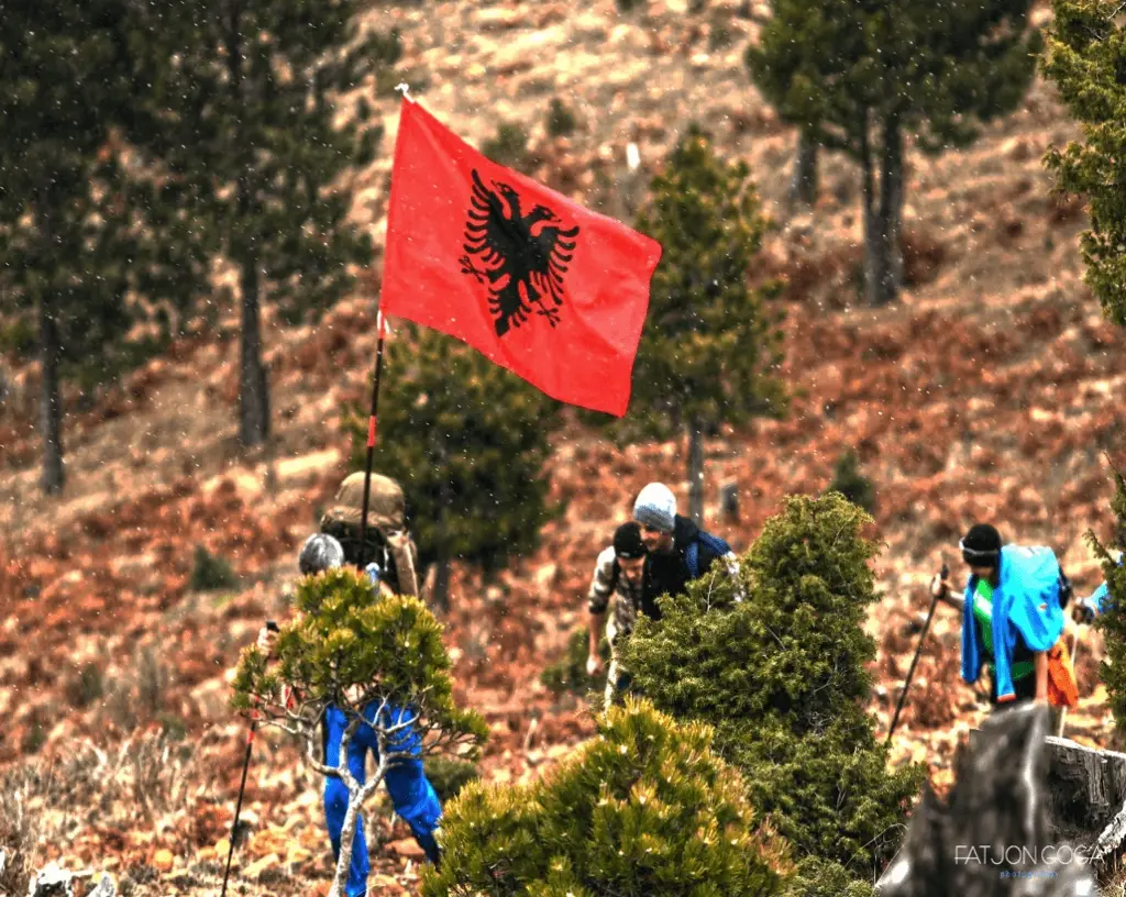
Meadows below the shrine are used for picnics, and the ridge keeps climbing above it. In good weather the higher ground is worth an extra hour.
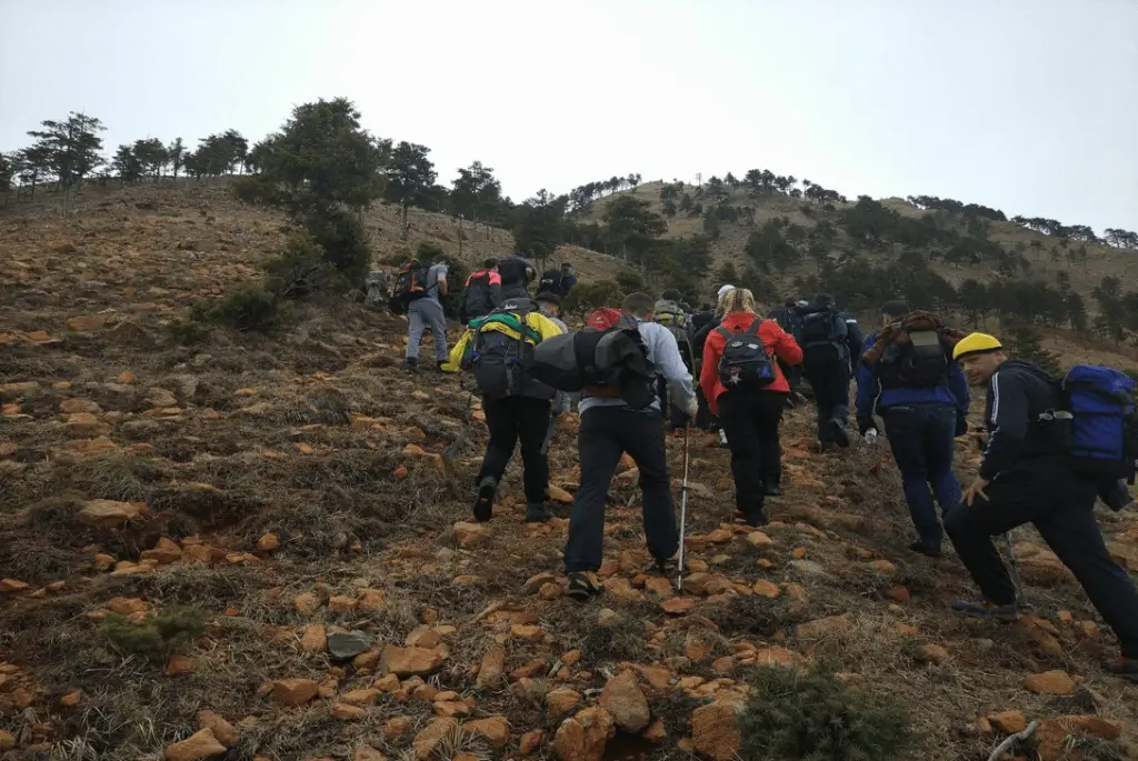
You can drive almost to the door or walk the whole way up from town. The walk is the better day if the weather holds.
Rruga e Malit leaves the top of town and climbs the face of the mountain in tight bends. It is surfaced but narrow, with guardrails on the outside edge.
A steep path climbs from the town to the shrine. Start early and carry water. If you would rather not walk down, a taxi back to town takes about 15 minutes.
Many Albanian visitors make the trip for this alone.
Late afternoon over the plain is the view to wait for. If you walked up, leave enough daylight to get back down.
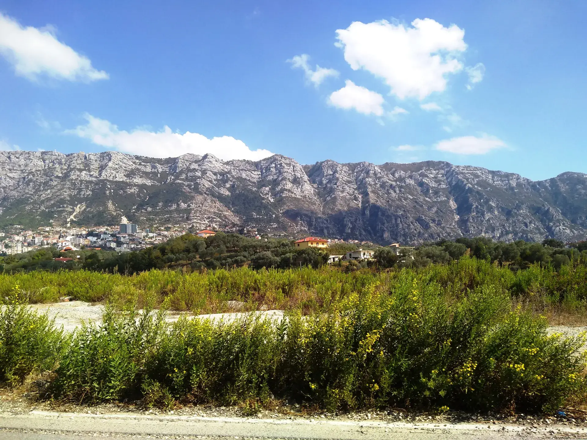
Altitude decides most of it. The shrine is about 600 metres higher than the town and noticeably colder.
April to May
Green and clear, though the path can be wet after rain.
June to August
The busiest season, and several degrees cooler than Kruja. Bring a layer for the evening.
September to October
Clear air and the longest views of the year, with far fewer people on the mountain.
November to March
Cold and exposed, and snow can close the road. Check the weather before you go up.
The shrine is 7 km from the centre of Kruja by road, about 20 minutes by car. Rruga e Malit leaves the top of town and climbs the mountain in tight bends. The road is surfaced but narrow, so take it slowly and expect to give way on the bends.
On foot, allow about 2.5 hours up from town on a steep path, and carry water: there is nothing to buy on the way. A taxi back down takes about 15 minutes.
Kruja itself is about 40 km from Tirana by road. It is several degrees colder at the shrine than in town, so bring a layer even in summer.
Directions in Google Maps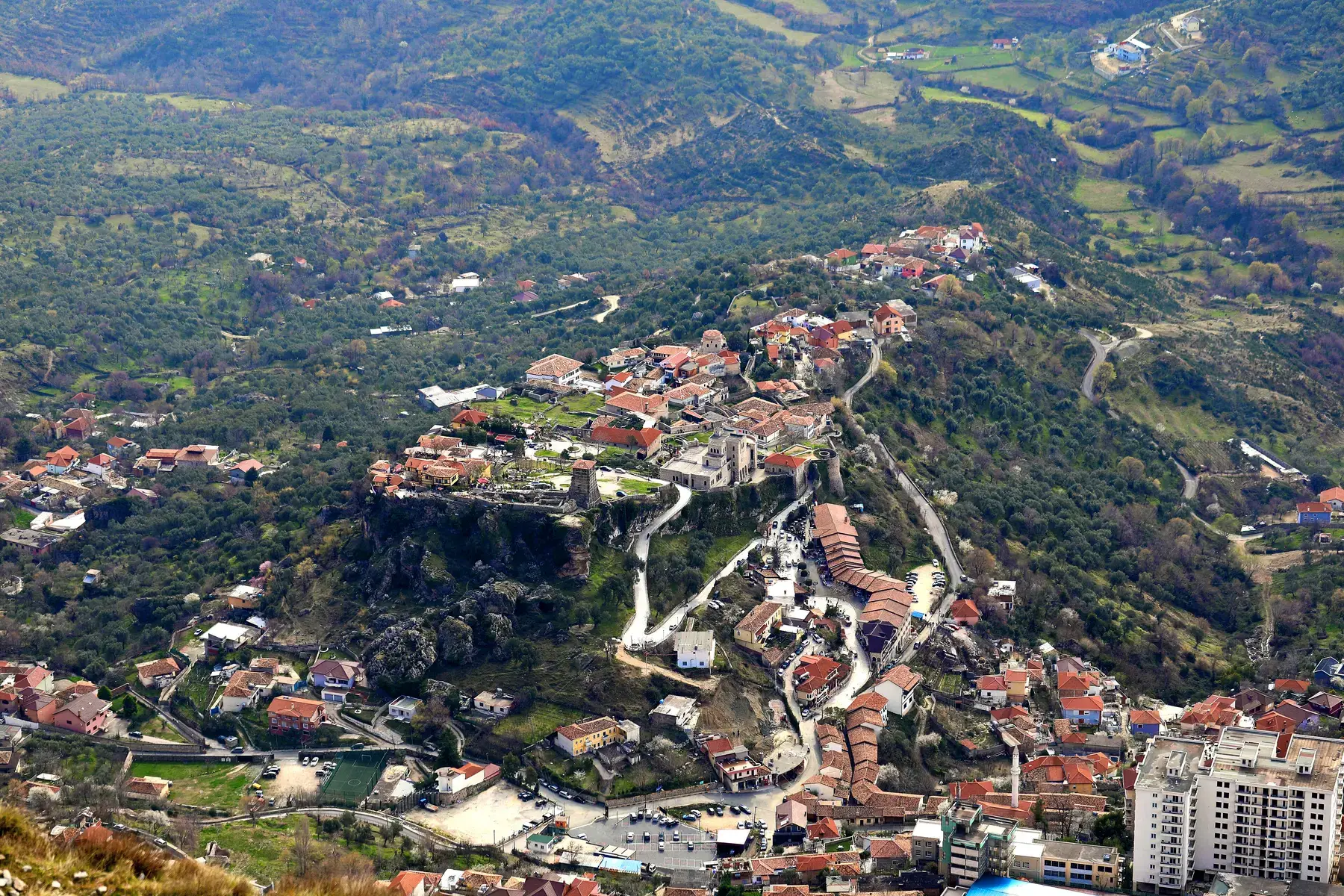
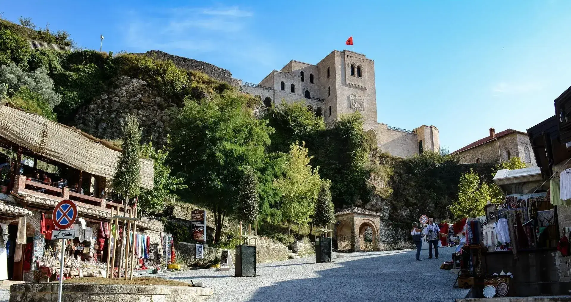
Built in the 5th century, surviving multiple sieges, housing the spirit of a nation.
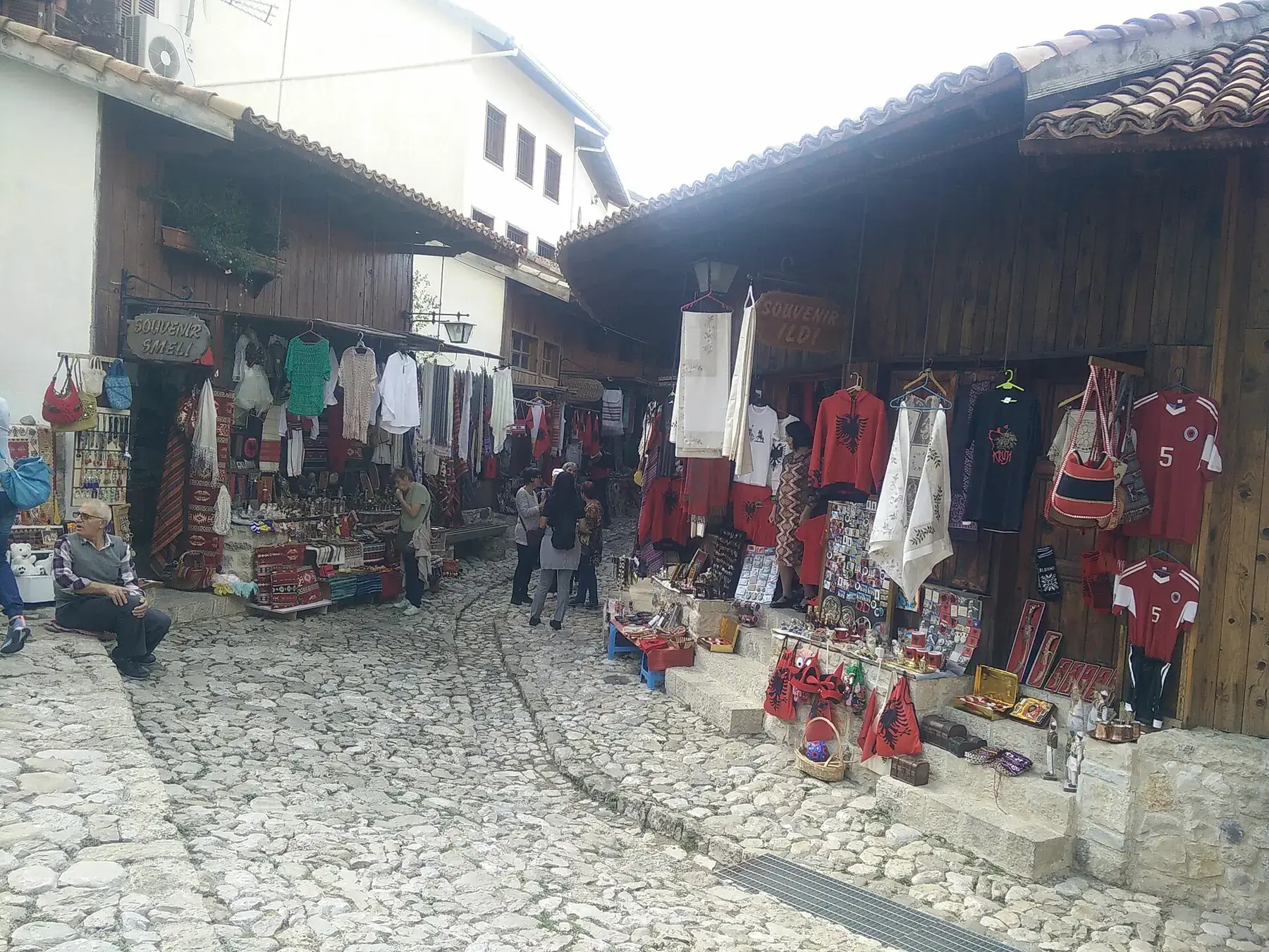
A cobbled Ottoman market lane that still trades below the castle gate.
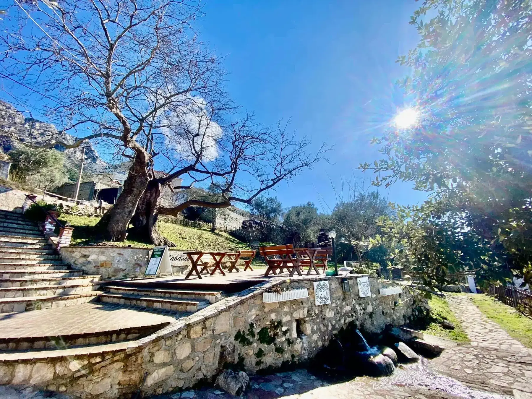
A plane tree of about 550 years and the spring beside it, a kilometre from the centre and protected as a natural monument.
We run the teqe and the mountain as a guided trip, with the drive up and the timing taken care of.