The Kurcaj arch
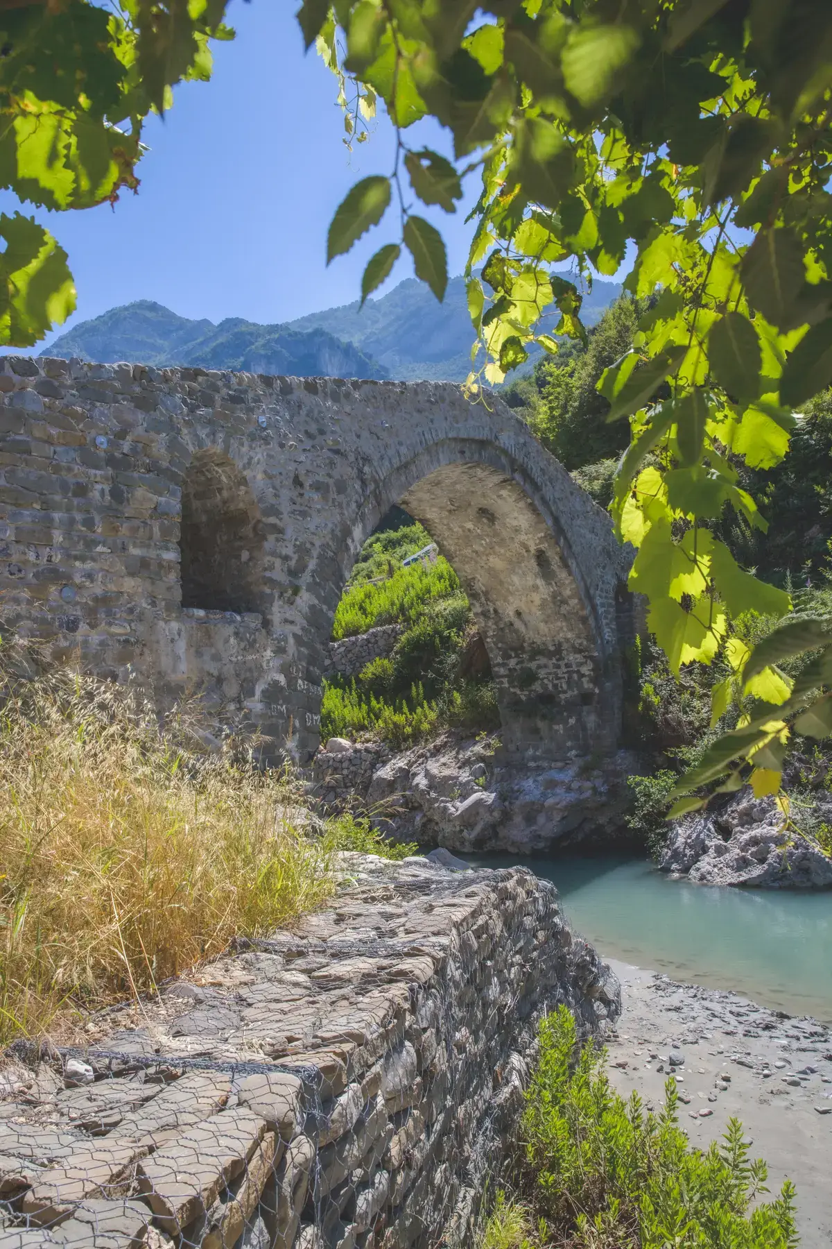
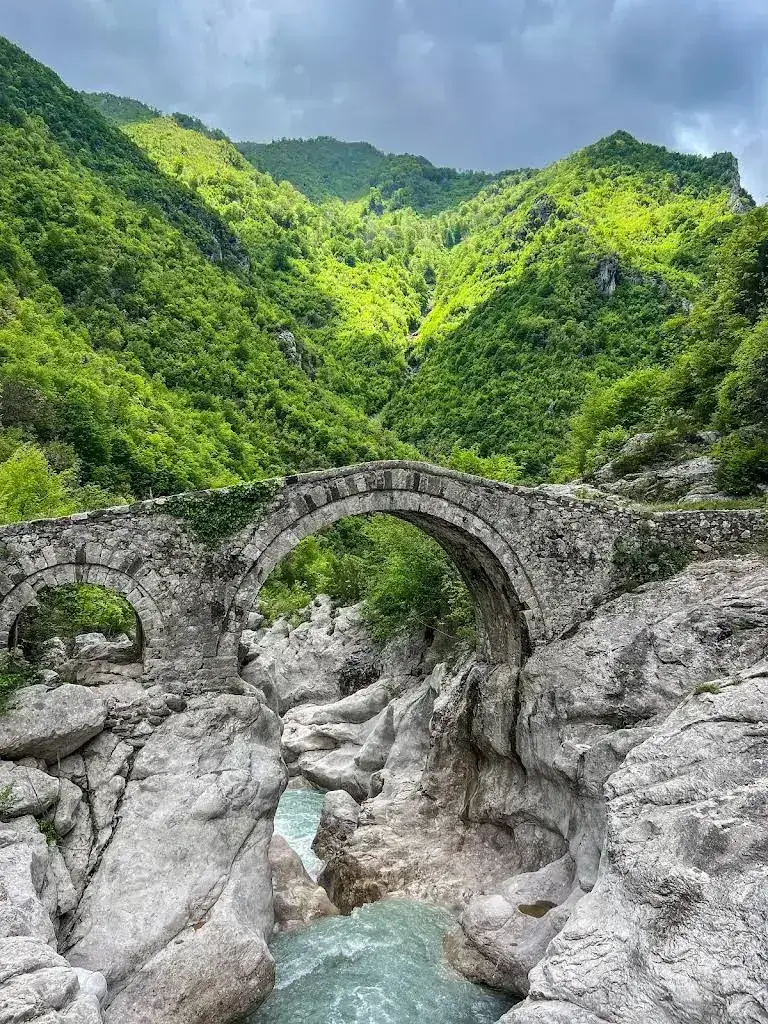
One high span over the river, with a small relief opening in the stonework beside it. Stand on the bank below and look at how the stones are set into the curve.
 VisitKruja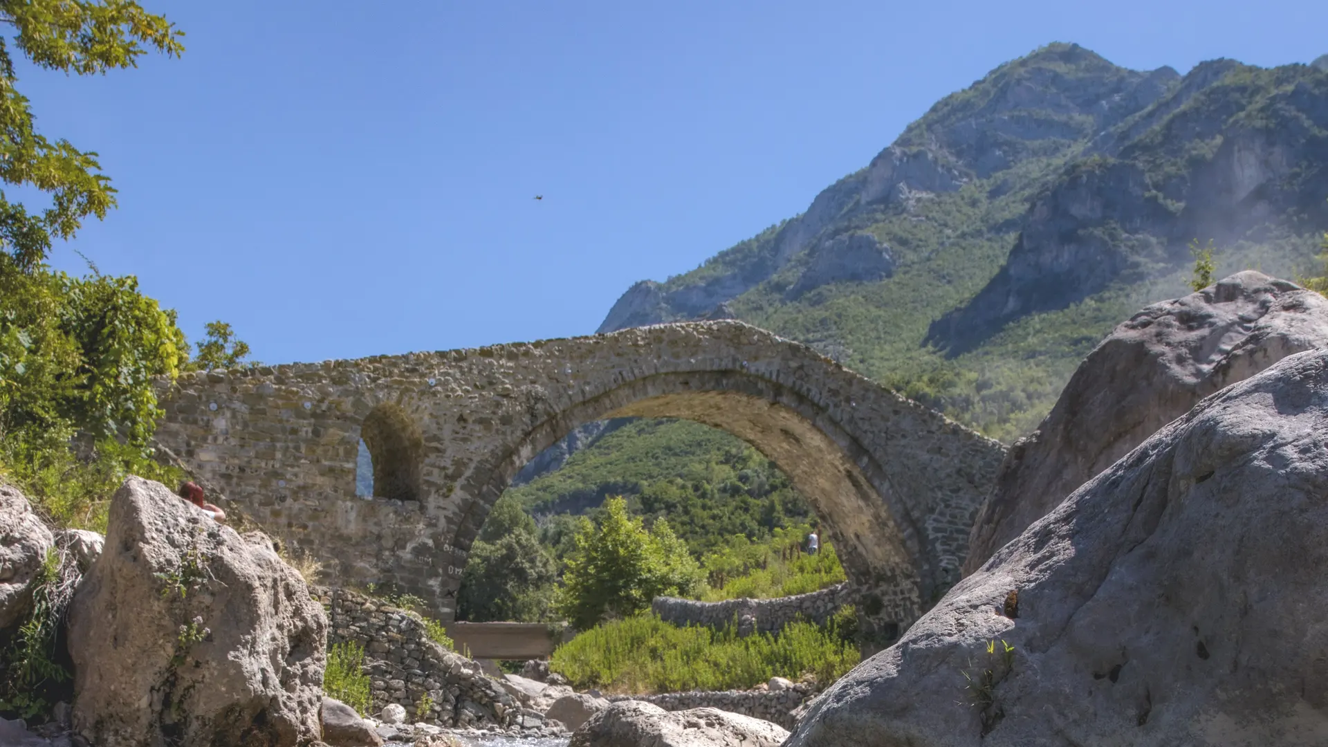
Two Ottoman stone bridges on the old caravan route along the Zeza river, in the gorge between Mount Kruja and Mount Gamti.
The Zeza river rises at Qafshtama and runs south through a limestone gorge between Mount Kruja and Mount Gamti. Before the modern road, the shortest caravan route from Tirana to Kruja came this way, through the village of Kurcaj and then up over the mountain by Barkanesh.
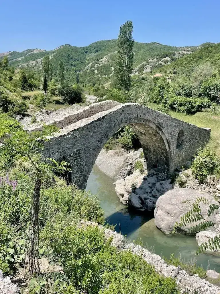
Two Ottoman stone bridges survive on that route, both listed as first-category cultural monuments. The Bridge of Abdyl Agha, at the entrance to the gorge, was built around 1810 to 1820 from limestone quarried on the mountain beside it, and was restored in 2021. The Bridge of Kurcaj, at the far end by the village, dates from the 18th century: a single high arch over the river, with a small opening through the stonework beside it to let floodwater pass.
A broad stone path runs 2 km through the gorge between the two, past green pools, a narrow section known as the Natural Gate and a waterfall you hear before you see it. Neither bridge is maintained, so look at them from the banks rather than climbing on the stonework.
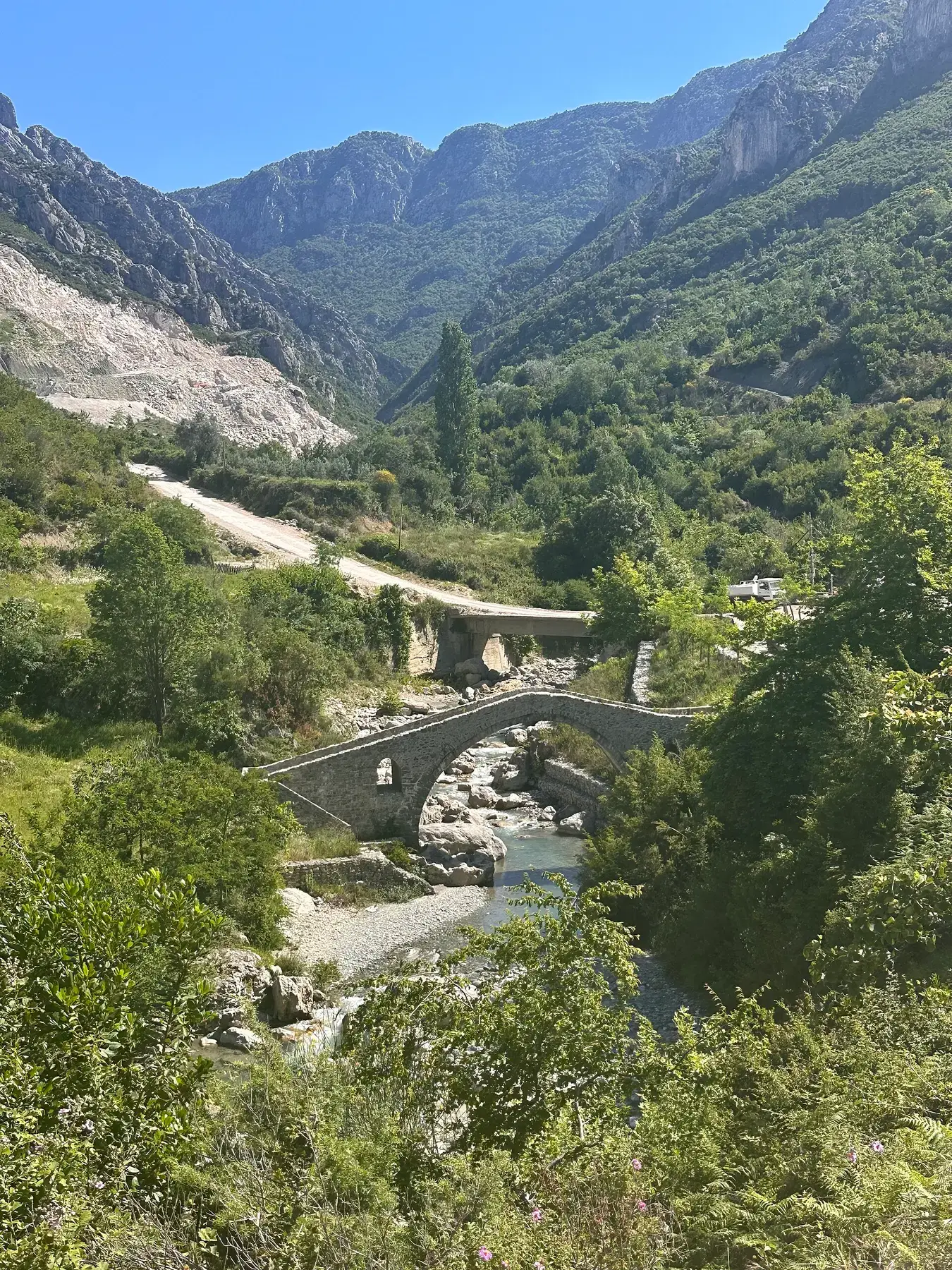
Both bridges were built to carry pack animals on a trade route, and they repay a closer look than most people give them.
One high span over the river, with a small relief opening in the stonework beside it. Stand on the bank below and look at how the stones are set into the curve.
The deck rises steeply to the crown of the arch. It was made for loaded mules and horses rather than carts, which is why it feels so steep on foot.
On the Kurcaj bridge part of the original surface survives: river stones laid in diagonal bands, set like low steps.
Green pools, the narrow Natural Gate and a hidden waterfall between the two bridges. In midsummer the pools are deep enough to swim.
The walking is easy. The hard part is the start, because nothing here is signposted.
The gorge is south of Kruja, near the villages of Nikel and Kurcaj. No road crosses the mountain, so the drive goes round by the plain and takes about 35 minutes.
A broad old stone path with little climbing. About two hours there and back, longer if you stop to swim.
In July and August the pools are deep enough to swim. The water stays cold.
The start of the path is easy to miss and there are no signs. A guide also knows which pools are safe after rain.
The bridges are there all year and cost nothing to see. What changes is the river and the state of the path.
April to May
High water and green banks. The best photographs, and the wettest path.
June to August
Low water, easy walking and pools deep enough to swim. Start early, as the gorge holds the heat by midday.
September to October
Firm ground, clear water and good colour. The best all-round time to go.
November to March
High, fast water and a slippery path. Possible on a dry day, but not the season to look for an unsigned trailhead.
The gorge is south of Kruja, near the villages of Nikel and Kurcaj. By road it is about 26 km from Kruja, around 35 minutes, because the route has to go round the mountain by the plain.
From the trailhead a broad stone path runs 2 km through the gorge between the two bridges. Allow about two hours there and back. There is little climbing, and walking shoes are enough.
Nothing is signposted. A local guide is the simplest way to find the start of the path, and the only realistic way to see both bridges and the waterfall in one trip.
Directions in Google Maps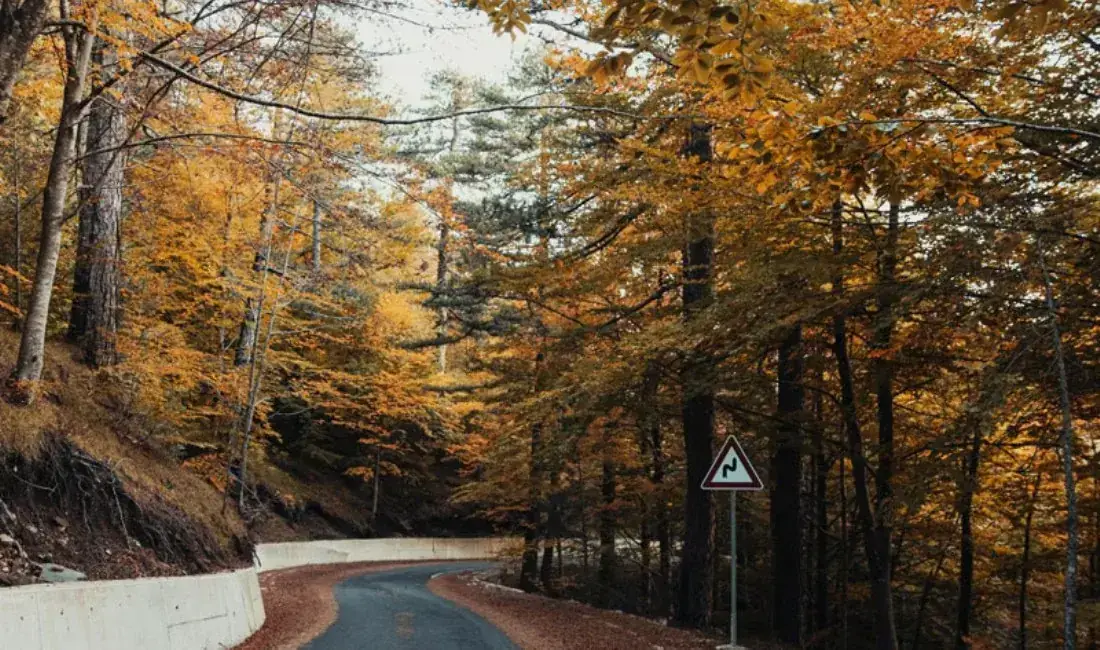
Black pine forest, limestone peaks and the Queen Mother's Spring, 20 km from Kruja on the road to Burrel.
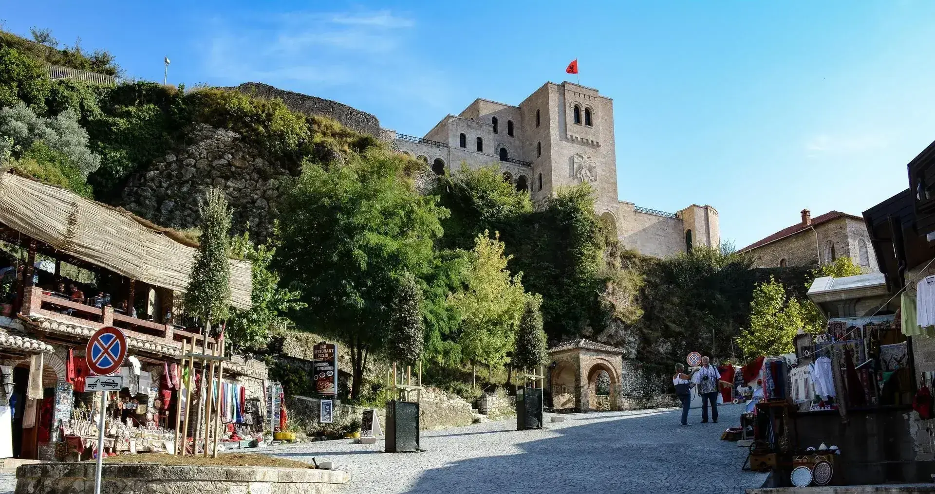
Built in the 5th century, surviving multiple sieges, housing the spirit of a nation.
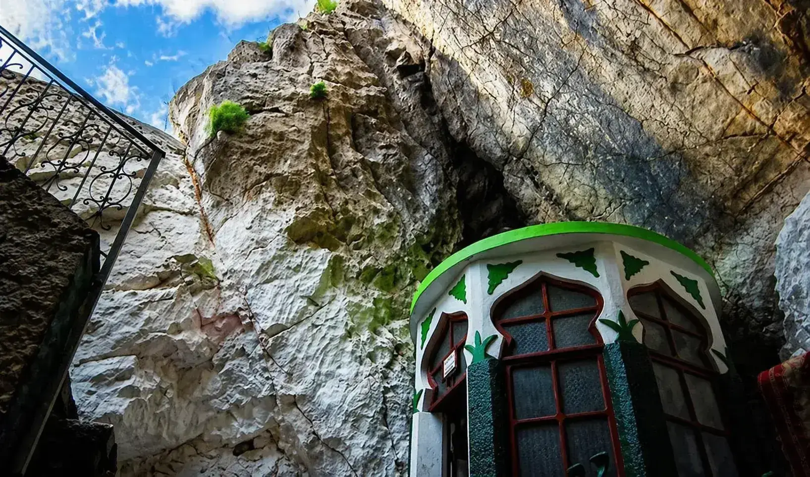
A Bektashi cave shrine at 1,176 m on Mount Kruja, with views over the plain to the Adriatic.
We know where the path starts and which pools are safe to swim. Ask us and we will put a route together.