Updated September 17, 2026
If you have seen footage of wildfires in Albania this summer and you have a trip to Kruja coming up, the short version is this: the fires around Kruja are out or contained, nothing in the town closed, and the views that bring people up this mountain look the same as they did before.
A news clip of a burning hillside tells you nothing about which hillside it is. So this page sets out what actually burned above Kruja during the 2026 season, what the ground looks like now, and what any of it changes for a visit to the castle, the Old Bazaar, the mountain and the roads beyond it.
What happened on the mountain
2026 was a hard fire year across Albania, and Kruja was one of the districts affected. Outbreaks were reported through August and into early September on the Kruja mountain and in the villages spread around it, among them Kraste, Boje, Halil, Bushnesh and Barkanesh, along with a fire above the Abaze neighbourhood on the edge of the town itself.
Crews from the Kruja fire service worked with the Armed Forces, with help from units in Kamez and Vore and a helicopter for the ground that no vehicle can reach. Above Kraste, where the slope is steepest, the authorities reported that there were no houses near the flames and no direct risk to the community. In Bushnesh, where a fire did come close to houses, crews worked on isolating it first.
Where the situation stands
The fires around Kruja are out or contained. The Ministry of Defence reported the Abaze fire brought under control with helicopter support, and no active outbreaks remaining at Boje, Kraste or Halil.
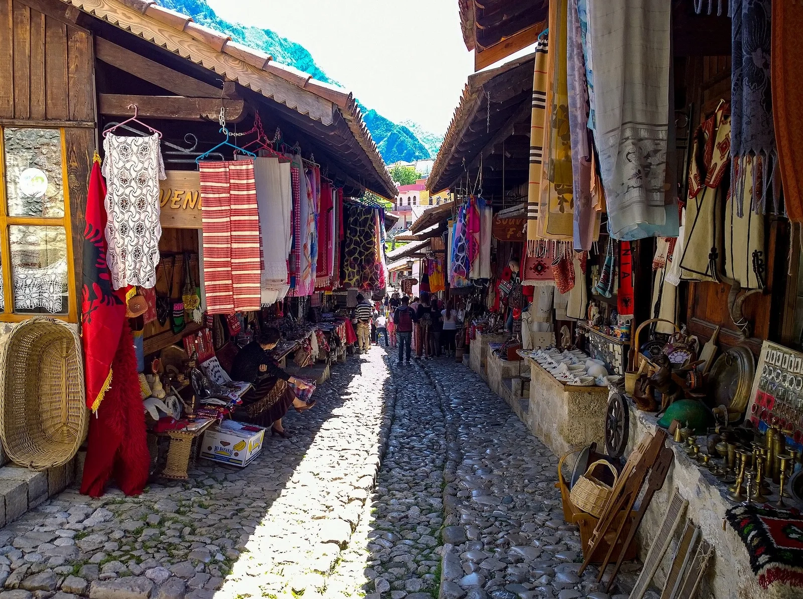
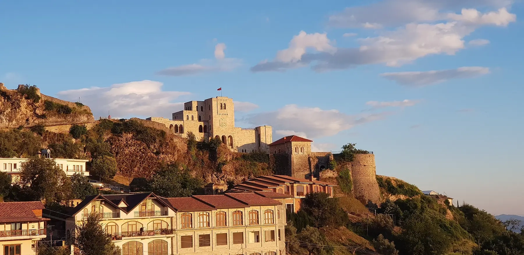
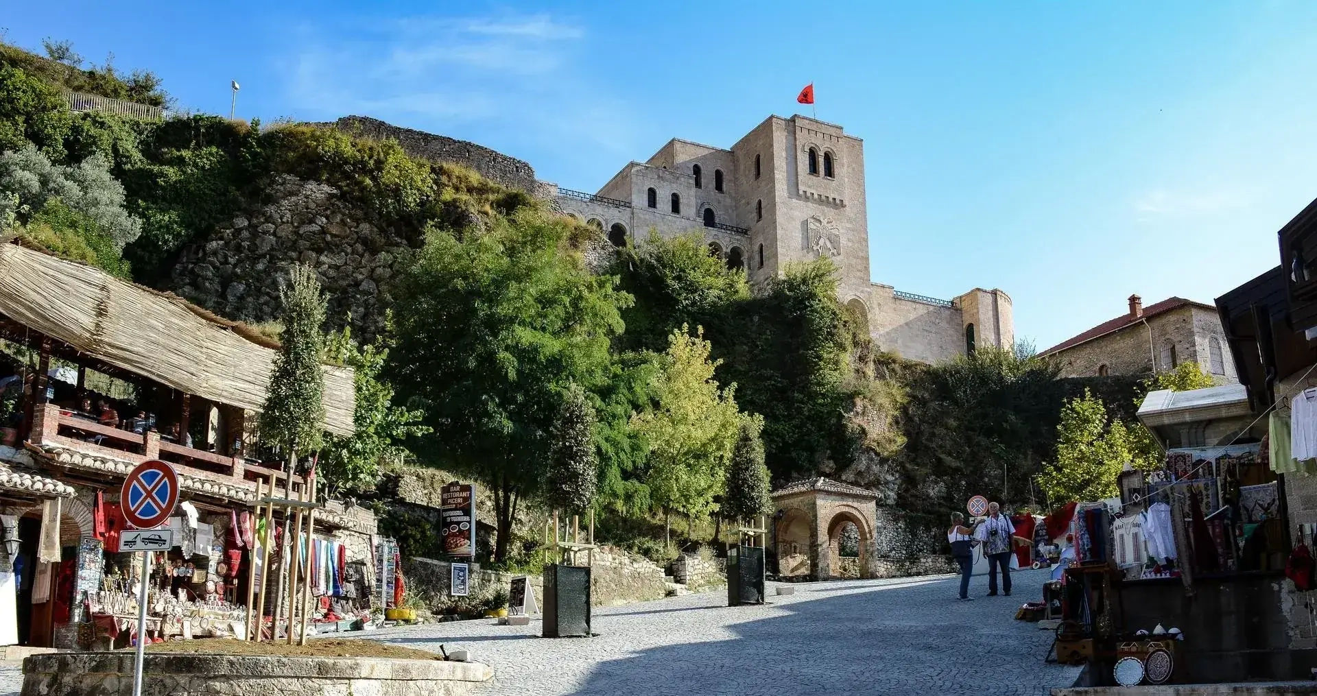
No part of Kruja was evacuated. The castle, the Skanderbeg Museum, the Ethnographic Museum, the Old Bazaar and the guesthouses and restaurants around them carried on through the season.
Elsewhere in the country the season ran longer, with fires still being fought around Himara and on Mount Dajti into September. Those are a long way from here, and they are the reason a lot of alarming footage of Albania is circulating that has nothing to do with Kruja.
What actually burned
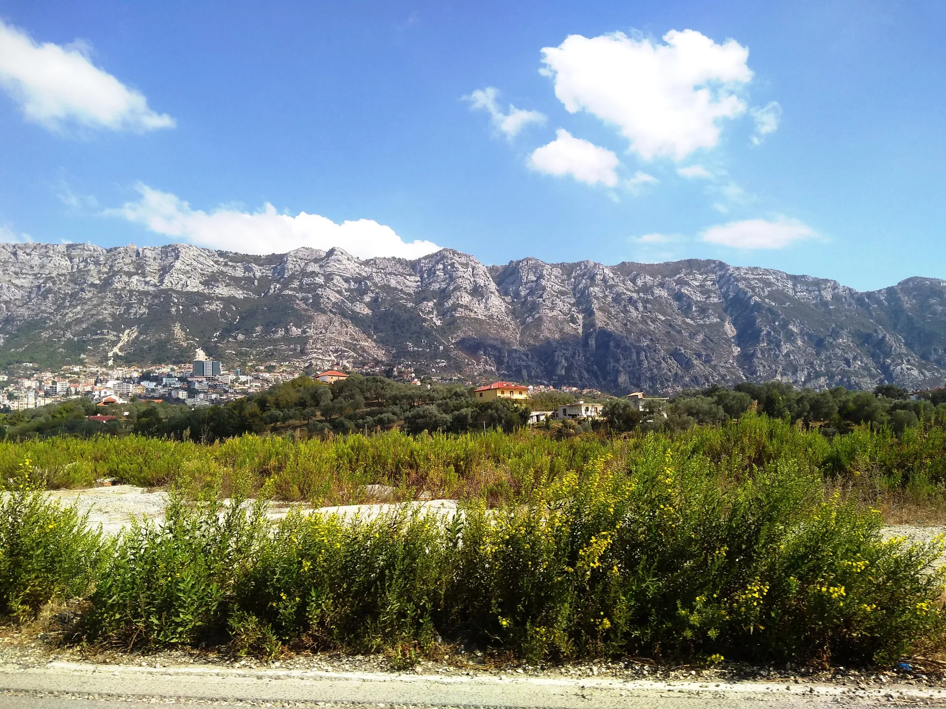
Almost all of the burned ground is on the far flank of the mountain, away from the town and away from the roads visitors use. The cover there is low scrub, thorn and dry summer grass rather than mature forest, and by late August that vegetation is parched to tinder in any year, fire or no fire.
That matters for how the ground looks and for how it recovers. Low scrub burns fast, burns shallow and greens up again after the first serious autumn rain. What is left behind is patches of dark ground on a hillside that was already brown and bare at the end of summer, not the blackened skeletons of a burned pine forest.
The panoramic views have not changed
This is the question we are actually asked, so here is the plain answer: none of the burned ground sits in the views people come to Kruja for.
The view west from the castle terrace and the bazaar, out over the plain towards Durres and the Adriatic on a clear day, is untouched. So is the walk up to the Holy Cave of Sari Salltik and the long view from the ridge. The road out towards Gryka e Vajes, past the plane tree at Ballabanec and the cliff at Shkembi i Vajes, looks as it did in spring.
If you end up being shown a burned patch from one of these viewpoints, it is because your guide pointed it out to you.
Visiting Kruja right now
Everything is running normally. The castle and the museums keep their usual hours, the bazaar is open, and our tours are going out on their normal schedule.
On the handful of days when a fire was actually burning, the smoke was visible and, with the wind in the wrong direction, you could smell it in the town. That has passed. If you are sensitive to smoke and want to be certain before a long drive, message us the day before and we will tell you honestly what the air is doing.
One thing worth saying plainly: if you walk in the hills, stay off freshly burned ground. It is unstable underfoot, it hides holes and roots that have burned out below the surface, and it is no place to be in walking sandals.
Why these fires start
Almost none of this is natural. Forestry specialists put the share of Albanian wildfires caused by people at around 99 per cent, most of it land burned off deliberately or carelessly, and thousands of hectares nationwide went that way in 2026.
It is worth knowing, because it explains why the fires cluster around inhabited slopes and grazing land rather than deep forest, and why the mountain above Kruja came through the season in the shape it did.
See the mountain for yourself
The views are the reason to come, and they are exactly where we left them. Walk the castle and the bazaar with a local guide, or take the climb up to the Holy Cave of Sari Salltik for the long view from the ridge.
Frequently Asked Questions
Are the wildfires in Kruja still burning?
No. The fires in and around Kruja are out or contained, and the authorities reported no active outbreaks remaining at Boje, Kraste or Halil after the Abaze fire was brought under control.
Did the fires reach Kruja Castle or the Old Bazaar?
No. The castle, the museums and the Old Bazaar were never threatened and never closed, and no part of the town was evacuated.
Can you see the burned areas from the castle or on tours?
Barely. The burned ground is on the far flank of the mountain, out of the sightlines from the castle terrace, the bazaar and the ridge above the Holy Cave of Sari Salltik.
Is it safe to hike around Kruja after the fires?
Yes, on the normal trails. Stay off freshly burned ground, which is unstable and hides burned-out holes and roots, and go with a guide if you are heading away from the marked routes.